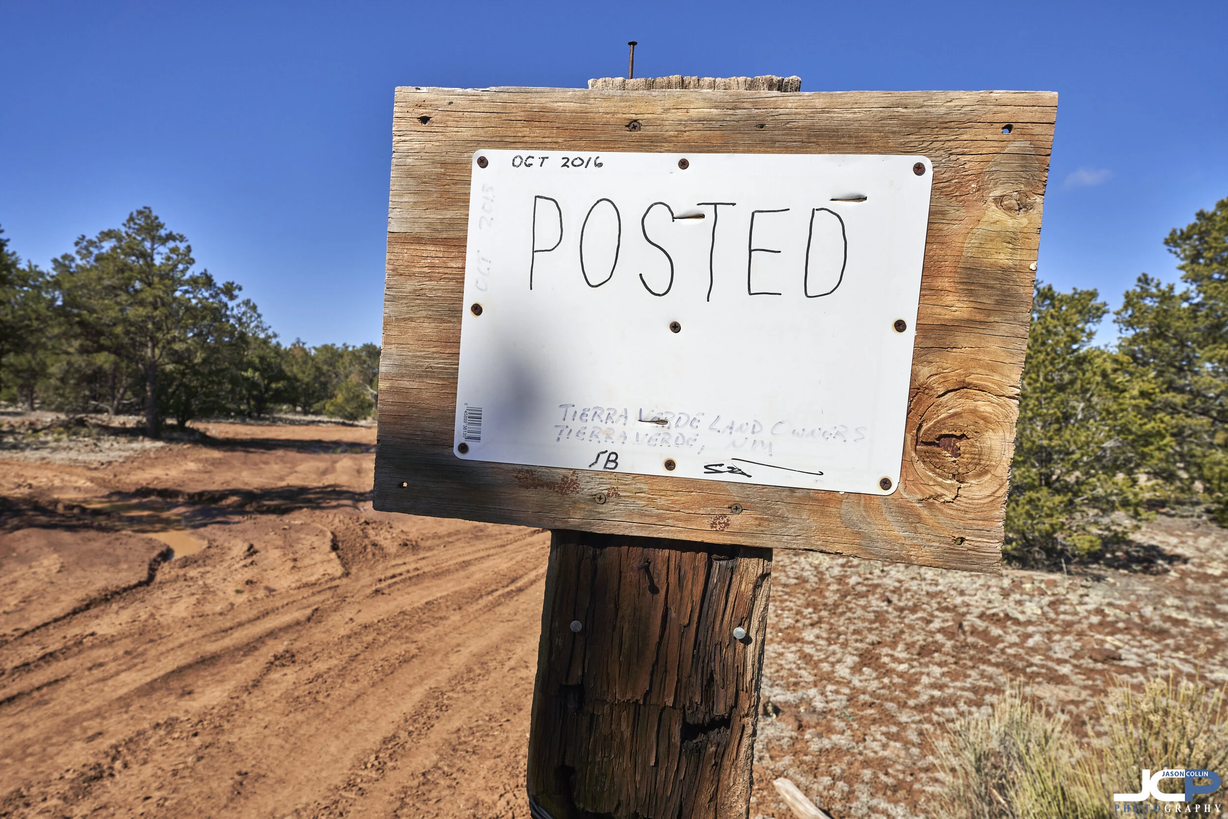
This road was hardly passable in the dry!! — Cibola County New Mexico
What it takes to navigate 10 miles offroad where no roads go
This week I made my second trip this month to the El Morro area of Cibola County, New Mexico on a rural land real estate shoot for Hemingway Land. Regular followers of Jason Collin Photography will note that rural land photography is a frequent, and large part of my business. However, I never really detail all that it involves logistically, and then physically, to do a shoot like this that takes me 10+ miles down poorly maintained dirt roads in my Jeep Renegade Trailhawk.
The dreaded take a flying leap Google Maps dotted lines!
1.) map the properties out with GPS coordinates first
What I do first is take the GPS coordinates I am given and plot them on Google Maps utilizing satellite view. Whenever I see dotted lines to the actual properties, it fills me with dread as I see it as Google Maps telling me to take a flying leap because no actual roads go there, at least no roads it knows about. Now, Google Maps does have a remarkable amount of dirt roads in the middle of nowhere navigable. This time however, as you can see, I needed to make 5 flying leaps out of 5 properties!
2.) look for hidden roads
So what do I do then if no nice blue line takes me right to the GPS coordinates? I have to zoom in and look for faded and hidden roads. Having shot over 200 properties all over New Mexico, I can no usually tell with a high degree of certainty if I will be able to actually drive to a property that is not given a blue line path by Google Maps. In the map screenshot above, I did see a way to get to the southernmost property. That was actually the one I shot first because I came from the east, not the west as Google Maps shows it wants me to do above.
3.) use inside info if there is any available
I had inside info from another photographer/land broker combo who had been to this area before that I definitely want to come from the east. Now the two western most properties, and the northern most, I did not think I’d be able to drive right up to them based on the lack of visible roads to them. I was right about those. There were very, very faded roads to the two western ones, but I elected to park and walk the last few tenths of a mile to them rather than drive over essentially open desert. I have this policy because there could be a cactus I do not see that could puncture a tire or a rock hidden by an overgrown bush that could damage my Jeep. I am perhaps most afraid of driving over a rabbit hole or coyote den and having a tire sink into the ground a foot and not be able to get out (not to mention maybe driving over an animal!).
4.) print out the APN borders of each property and screen shot them
What made the absolute difference this time between me getting to all 5 properties and me not finding a single one of them is the fact I print out on paper screenshots of the APN borders of the properties zoomed out to show quite a few nearby roads and landmarks. I then screenshot these from the APN border website and put them on my phone so I can zoom in to see fine details.
5.) know how to identify trees
So how did having the APN screenshots really save me? There just happened to be one road sign way out there. I saw it on that APN screenshot you can see above. That allowed me to orientate myself with an intersection with a big tree. I kid you not! I saw one tree across from this small intersection, and that allowed me to find the 3 western most properties you see on the map above! Without being able to do this, I would not have been able to find them! Why? Because Google Maps offline mode is useless! And Google Maps will eventually reset on you and with offline maps not allowing me to zoom in to see details, it was nearly useless anyway by this point. So I found these properties with no live mapping, just going without exaggerating, by identifying individual trees in the screenshot satellite maps I had on my phone!